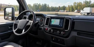
What “GPS for farming equipment” actually means
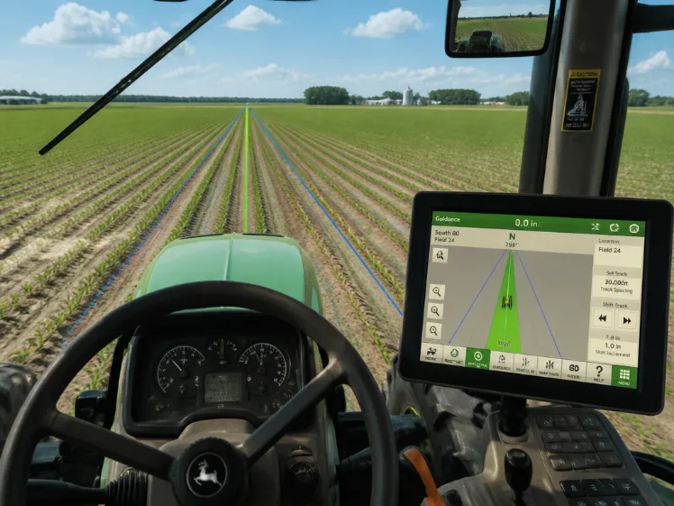
GPS for farming equipment is not one product. It is a combination of GNSS positioning, a display or guidance interface, correction service, machine connectivity and field software. A basic system may only show a lightbar and AB line; a precision system can guide auto-steer, control implement sections, log applied product and export as-applied maps.
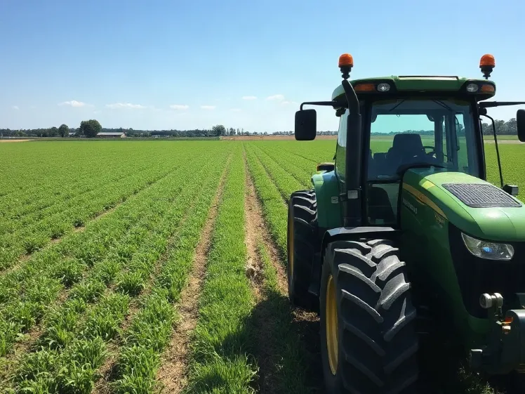
For most farms, the immediate value comes from pass-to-pass guidance: following a consistent path across the field to reduce overlaps, skips and wasted inputs. The University of Georgia notes that GPS guidance helps operators follow a fixed path and reduce application errors such as overlaps and skips during spraying, spreading, seeding and forage operations. Read the GPS guidance options overview.
For deeper precision-agriculture programs, GPS becomes the spatial backbone for field boundaries, soil sampling, irrigation planning, yield mapping, variable-rate application and year-over-year crop scouting. The U.S. government’s GPS.gov program identifies these as core uses of GPS-derived precision-agriculture tools. See GPS.gov’s precision agriculture overview.
Choose by accuracy requirement, not by marketing label
Entry guidance
Lightbar / visual guidance
A low-cost way to follow an AB line and reduce overlap. It is useful for broadacre tillage, spraying and spreading where the operator remains in control of steering.
Repeatable work
DGPS / SBAS guidance
Differential corrections improve repeatability for spraying, seeding and fertilizer work. Missouri Extension describes DGPS-based systems as sufficient for yield monitoring and grid soil sampling in many farm applications. Review the Missouri Extension guidance.
High-value operations
RTK auto-steer
RTK provides the high repeatability needed for controlled traffic, narrow row crops, bed preparation, inter-row work and repeatable spraying boundaries. Waysion describes RTK-ready positioning as centimeter-level positioning for seed placement, spraying boundaries and route tracking.
The in-cab display is the part operators touch every day
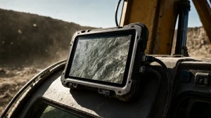
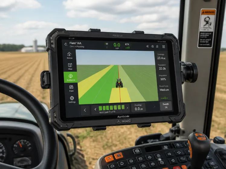
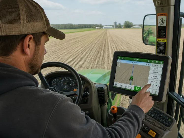
A GPS receiver can be accurate, but the operation still fails if the display is unreadable in direct sun, freezes in cold mornings, loses connection in a dusty cab, or cannot communicate with the tractor and implement. For farm equipment, the display should be treated as a rugged vehicle-mounted human-machine interface, not as a consumer tablet.
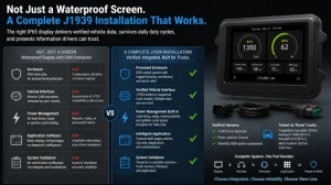
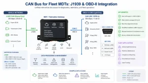
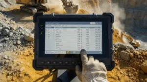
Look for a high-brightness screen, glove-friendly touch operation, stable 9–36 V vehicle power, vibration-resistant mounting, IP-rated sealing, GNSS support and CAN Bus or serial interfaces. These features allow the terminal to receive machine data, display guidance, trigger section control and remain usable through long field days.
Waysion’s rugged tablet for precision agriculture is designed around this use case, combining RTK positioning, multi-constellation GNSS, dual CAN Bus, industrial I/O and multi-camera input for tractor-mounted guidance, field mapping and row-tracking workflows.
A practical GPS deployment checklist
- Define the job first. Broadacre spraying, row-crop planting, controlled traffic, irrigation and harvest logistics require different accuracy, update rate and interface requirements.
- Match correction to the task. Use SBAS or DGPS for general guidance; use RTK when repeatability, row alignment, section control or auto-steer quality determines yield and input efficiency.
- Plan antenna placement. Mount the GNSS antenna on the machine centerline and above obstructions, following the equipment manufacturer’s installation guidance. Missouri Extension specifically recommends centerline placement with clear satellite visibility.
- Integrate with the machine. Confirm CAN Bus/J1939, RS232/RS485, GPIO, camera and power requirements before purchasing. This prevents an isolated display that cannot control or monitor the implement.
- Design for field conditions. Dust, mud, washdowns, engine vibration, temperature swings and cellular dead zones should shape the hardware specification—not be discovered after harvest begins.
- Keep data usable. Export boundaries, guidance lines, as-applied records and machine data to farm-management software so the investment produces decisions, not only maps.
Tractors and tillage
Use guidance lines to maintain consistent passes, reduce headland waste and support controlled traffic where soil compaction is a concern.
Sprayers and spreaders
Pair guidance with section or rate control to reduce overlap, skips and unnecessary chemical or fertilizer application.
Planters and harvesters
Use RTK-ready positioning, machine I/O and camera input to support row tracking, planting accuracy, yield mapping and harvest documentation.
FAQ: GPS for farming equipment
Do I need RTK for every tractor?
No. Lightbar or DGPS guidance can be enough for general tillage, broadacre spraying and basic coverage control. RTK is most valuable when repeatable passes, narrow rows, controlled traffic, automated steering or precise application boundaries justify the higher system cost.
Can a rugged tablet replace a dedicated GPS display?
It can when the tablet is engineered for vehicle use and integrated with the correct GNSS receiver, correction source, CAN Bus/serial interfaces, power conditioning and mounting system. A consumer tablet is generally not a substitute because it lacks the sealing, voltage tolerance, I/O and long-term mounting stability required around farm machinery.
What is the difference between GPS tracking and GPS guidance?
Tracking answers “where is the machine and what was it doing?” Guidance answers “where should the machine drive now?” Many farms need both: fleet visibility for managers and repeatable in-cab guidance for operators.
Which equipment benefits most from GPS?
Tractors, sprayers, fertilizer spreaders, seed drills, forage harvesters, irrigation machines and harvest equipment all benefit. The University of Georgia specifically identifies sprayers, spreaders, seed drills and forage harvesting equipment as candidates for GPS guidance.
Build the system around the machine, not the screen
The best GPS setup for farming equipment is the one that matches the machine’s electrical architecture, the operator’s workflow and the farm’s accuracy requirement. Start with the task, define the required repeatability, then select the GNSS receiver, correction service, display, mounting and integration interfaces as one system.
For farms standardizing on a rugged in-cab platform, Waysion’s rugged tablet range provides vehicle-oriented Android and Linux terminals designed for agriculture, fleet operations, CAN Bus integration, GNSS positioning and industrial field deployment.
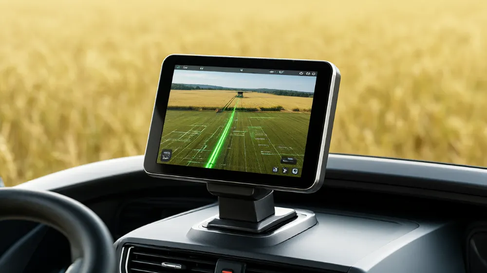
Accurate GPS is only the starting point. Integrated guidance, machine control and rugged field hardware create the return.